
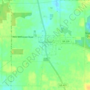
Napoleon topographic map
Click on the map to display elevation.
About this map
Name: Napoleon topographic map, elevation, terrain.
Location: Napoleon, Ripley County, Indiana, 47034, United States (39.20084 -85.33340 39.20679 -85.31892)
Average elevation: 988 ft
Minimum elevation: 948 ft
Maximum elevation: 1,033 ft
Ripley County trails, hiking, mountain biking, running and outdoor activities
Other topographic maps
Click on a map to view its topography, its elevation and its terrain.