
Chiefland topographic map
Click on the map to display elevation.
About this map
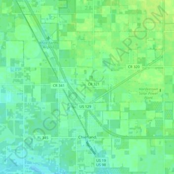
Name: Chiefland topographic map, elevation, terrain.
Location: Chiefland, Levy County, Florida, United States (29.45962 -82.89776 29.53154 -82.83933)
Average elevation: 43 ft
Minimum elevation: 23 ft
Maximum elevation: 62 ft
Levy County trails, hiking, mountain biking, running and outdoor activities
Other topographic maps
Click on a map to view its topography, its elevation and its terrain.