
Moyale topographic map
Click on the map to display elevation.
About this map
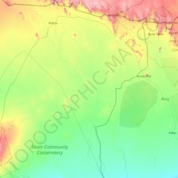
Name: Moyale topographic map, elevation, terrain.
Location: Moyale, Marsabit County, Eastern, Kenya (2.09515 38.12989 3.65422 39.34650)
Average elevation: 1,896 ft
Minimum elevation: 1,096 ft
Maximum elevation: 4,790 ft
Other topographic maps
Click on a map to view its topography, its elevation and its terrain.