
洼里乡 topographic map
Interactive map
Click on the map to display elevation.
About this map
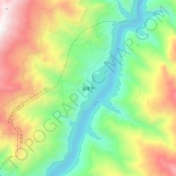
Name: 洼里乡 topographic map, elevation, terrain.
Location: 洼里乡, 盐源县, 凉山彝族自治州, 四川省, 中国 (28.05798 101.51721 28.13798 101.59721)
Average elevation: 8,100 ft
Minimum elevation: 5,397 ft
Maximum elevation: 12,411 ft
Other topographic maps
Click on a map to view its topography, its elevation and its terrain.