
泸沽湖镇 topographic map
Interactive map
Click on the map to display elevation.
About this map
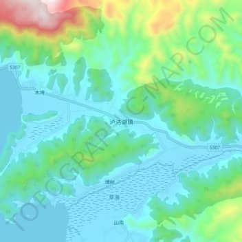
Name: 泸沽湖镇 topographic map, elevation, terrain.
Location: 泸沽湖镇, 盐源县, 凉山彝族自治州, 四川省, 中国 (27.68898 100.81517 27.76898 100.89517)
Average elevation: 9,455 ft
Minimum elevation: 8,825 ft
Maximum elevation: 11,988 ft
Other topographic maps
Click on a map to view its topography, its elevation and its terrain.