
Greetsiel topographic map
Click on the map to display elevation.
About this map
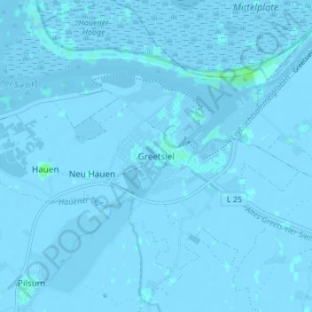
Name: Greetsiel topographic map, elevation, terrain.
Average elevation: -3 ft
Minimum elevation: -16 ft
Maximum elevation: 20 ft
Other topographic maps
Click on a map to view its topography, its elevation and its terrain.
Wiesmoor
Germany > Lower Saxony > Landkreis Aurich
On Friday 13 January 1989, a half year after the Ramstein Airshow Disaster, there was a collision of several military jets at low altitude over the Hinrichsfehn area of Wiesmoor. A tornado of the Royal Air Force collided with a squadron of German Alphas Jets of the Jagdbombergeschwader 43 division. One of the…
Average elevation: 30 ft
Juist
Germany > Lower Saxony > Landkreis Aurich
Juist is accessible by plane or daily ferry. FLN Frisia Luftverkehr operates planes between Norden and Juist. Most motor vehicles are prohibited on the island, with only the fire department, the German Red Cross and doctors allowed to use them. Island tractors require a special license, while most other…
Average elevation: 0 ft