
Moore Lake topographic map
Click on the map to display elevation.
About this map
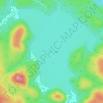
Name: Moore Lake topographic map, elevation, terrain.
Average elevation: 1,329 ft
Minimum elevation: 1,204 ft
Maximum elevation: 1,631 ft
Other topographic maps
Click on a map to view its topography, its elevation and its terrain.
Aylen Lake
Canada > Ontario > Nipissing District > South Algonquin Township
Average elevation: 1,184 ft
Princes Lake
Canada > Ontario > Nipissing District > South Algonquin Township
Average elevation: 1,532 ft
Madawaska Highlands
Canada > Ontario > Nipissing District > South Algonquin Township
Average elevation: 1,450 ft
Bellwood
Canada > Ontario > Nipissing District > South Algonquin Township > Whitney
Average elevation: 1,345 ft
Whitelily Lake
Canada > Ontario > Nipissing District > South Algonquin Township
Average elevation: 1,276 ft