
察瓦龙乡 topographic map
Interactive map
Click on the map to display elevation.
About this map
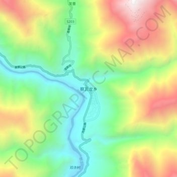
Name: 察瓦龙乡 topographic map, elevation, terrain.
Location: 察瓦龙乡, 察隅县, 林芝市, 西藏自治区, 中国 (28.43913 98.42376 28.51913 98.50376)
Average elevation: 9,055 ft
Minimum elevation: 5,781 ft
Maximum elevation: 14,459 ft
Other topographic maps
Click on a map to view its topography, its elevation and its terrain.