
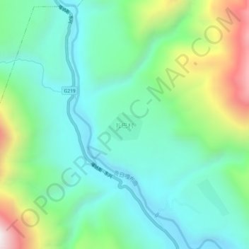
扎巴村 topographic map
Interactive map
Click on the map to display elevation.
About this map
Name: 扎巴村 topographic map, elevation, terrain.
Location: 扎巴村, 察隅县, 林芝市, 西藏自治区, 中国 (28.58938 96.89621 28.62938 96.93621)
Average elevation: 6,470 ft
Minimum elevation: 5,312 ft
Maximum elevation: 9,528 ft
Other topographic maps
Click on a map to view its topography, its elevation and its terrain.