
Make a donation
Gear up for your next adventure:
As an Amazon Associate, this site earns from qualifying purchases at no extra cost to you.
Karl Alexander Island topographic map
Click on the map to display elevation.
Make a donation
Gear up for your next adventure:
As an Amazon Associate, this site earns from qualifying purchases at no extra cost to you.
About this map
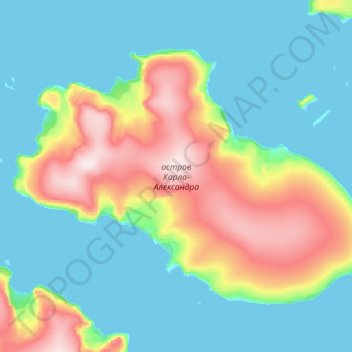
Name: Karl Alexander Island topographic map, elevation, terrain.
Average elevation: 269 ft
Minimum elevation: -3 ft
Maximum elevation: 1,184 ft
Make a donation
Gear up for your next adventure:
As an Amazon Associate, this site earns from qualifying purchases at no extra cost to you.
Other topographic maps
Click on a map to view its topography, its elevation and its terrain.
Kane Island
Russia > Arkhangelsk Oblast > Primorsky District
The largely unglacierised Kane island has a maximum altitude of 282 m (925 ft). It is about 5.8 km (3.6 mi) in length, measured from north to south. The northeastern tip is called Cape Hellwald (Russian: мыс Гельвальда) while Cape Easter (Russian: мыс Пасхи) is in the southeast.
Average elevation: 259 ft
Make a donation
Gear up for your next adventure:
As an Amazon Associate, this site earns from qualifying purchases at no extra cost to you.