
铜闸镇 topographic map
Interactive map
Click on the map to display elevation.
About this map
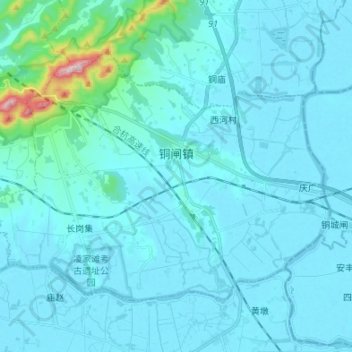
Name: 铜闸镇 topographic map, elevation, terrain.
Location: 铜闸镇, 含山县, 马鞍山市, 安徽省, 238100, 中国 (31.45215 118.01069 31.53362 118.14528)
Average elevation: 115 ft
Minimum elevation: 13 ft
Maximum elevation: 1,385 ft
Other topographic maps
Click on a map to view its topography, its elevation and its terrain.