Geolocate

Mamou topographic map

Click on the map to display elevation.

About this map

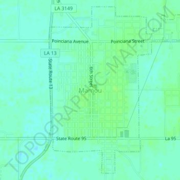
Name: Mamou topographic map, elevation, terrain.

Location: Mamou, Evangeline Parish, Louisiana, United States (30.62126 -92.42786 30.64628 -92.40335)

Average elevation: 62 ft

Minimum elevation: 46 ft

Maximum elevation: 75 ft

Other topographic maps

Click on a map to view its topography, its elevation and its terrain.

Gray Point

United States > Louisiana > Evangeline Parish

Average elevation: 62 ft

Beale

United States > Louisiana > Evangeline Parish

Average elevation: 125 ft

Gear up for your next adventure:

📷Action Cameras - Rugged cameras to document your journeys across rugged terrain
🍳Camping Cook Set - Complete cookware for outdoor meals
🗻Climbing Gear Basics - Essential gear for beginner climbers
🔥Plasma Lighters - Windproof lighters that work in any weather condition
😴Insulated Sleeping Pads - Compact and warm pads for high-elevation camping

As an Amazon Associate, this site earns from qualifying purchases at no extra cost to you.