Geolocate

York topographic map

Click on the map to display elevation.

About this map

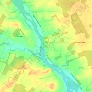
Name: York topographic map, elevation, terrain.

Location: York, Haldimand County, Ontario, Canada (43.00244 -79.90980 43.04244 -79.86980)

Average elevation: 646 ft

Minimum elevation: 581 ft

Maximum elevation: 696 ft

Gear up for your next adventure:

🪶Compact Camp Shovel - Folding shovel for campsite tasks
⛑️Personal Locator Beacon - Safety beacon for emergencies
🌧️Backpack Rain Cover - Keep gear dry in wet weather
💧Water Purification System - Clean water on the trail with reliable purifiers
🧯Emergency Survival Kit - All‑in‑one survival essentials for the backcountry

As an Amazon Associate, this site earns from qualifying purchases at no extra cost to you.