Geolocate

Leach topographic map

Click on the map to display elevation.

About this map

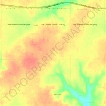
Name: Leach topographic map, elevation, terrain.

Location: Leach, Delaware County, Oklahoma, United States (36.17183 -94.94041 36.21447 -94.88554)

Average elevation: 1,122 ft

Minimum elevation: 994 ft

Maximum elevation: 1,181 ft

Delaware County trails, hiking, mountain biking, running and outdoor activities

Other topographic maps

Click on a map to view its topography, its elevation and its terrain.

Chloeta

United States > Oklahoma > Delaware County

Average elevation: 863 ft

Eucha

United States > Oklahoma > Delaware County

Average elevation: 1,024 ft

Kenwood

United States > Oklahoma > Delaware County

Average elevation: 866 ft

Gear up for your next adventure:

❄️Traction Cleats - Prevent slips on icy trails during winter hikes
🧣Hiking Neck Gaiter - Multi‑use neck protection for outdoor weather
🧭Compass with Lanyard - Easy‑carry compass for navigation
Backpacking Tent - Lightweight and durable tent for multi‑day hikes
🛰️Satellite Messengers - Emergency SOS and two-way messaging for off-grid adventures

As an Amazon Associate, this site earns from qualifying purchases at no extra cost to you.