
Mount Shepherd topographic map
Click on the map to display elevation.
About this map
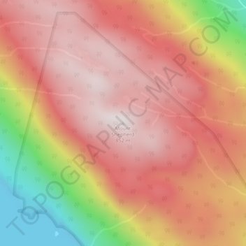
Name: Mount Shepherd topographic map, elevation, terrain.
Average elevation: 1,831 ft
Minimum elevation: 0 ft
Maximum elevation: 2,805 ft
Other topographic maps
Click on a map to view its topography, its elevation and its terrain.
South Texada Island Provincial Park
Canada > British Columbia > qathet Regional District > Area D (Texada Island)
Average elevation: 623 ft
Texada Island
Canada > British Columbia > qathet Regional District > Area D (Texada Island)
Average elevation: 272 ft
Texada Island
Canada > British Columbia > qathet Regional District > Area D (Texada Island)
Average elevation: 272 ft