
库玛拉克河 topographic map
Interactive map
Click on the map to display elevation.
About this map
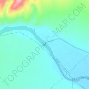
Name: 库玛拉克河 topographic map, elevation, terrain.
Location: 库玛拉克河, 温宿县, 阿克苏地区, 新疆维吾尔自治区, 中国 (41.55816 79.64845 41.55827 79.64859)
Average elevation: 4,774 ft
Minimum elevation: 4,636 ft
Maximum elevation: 5,381 ft
Other topographic maps
Click on a map to view its topography, its elevation and its terrain.