
柯柯牙镇 topographic map
Interactive map
Click on the map to display elevation.
About this map
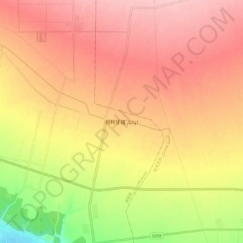
Name: 柯柯牙镇 topographic map, elevation, terrain.
Location: 柯柯牙镇, 温宿县, 阿克苏地区, 新疆维吾尔自治区, 中国 (41.27746 80.23554 41.35746 80.31554)
Average elevation: 4,026 ft
Minimum elevation: 3,711 ft
Maximum elevation: 4,209 ft
Other topographic maps
Click on a map to view its topography, its elevation and its terrain.