Geolocate

Kipp topographic map

Click on the map to display elevation.

About this map

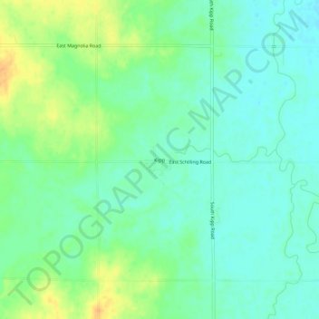
Name: Kipp topographic map, elevation, terrain.

Location: Kipp, Saline County, Kansas, United States (38.76389 -97.47447 38.80389 -97.43447)

Average elevation: 1,227 ft

Minimum elevation: 1,188 ft

Maximum elevation: 1,299 ft

Saline County trails, hiking, mountain biking, running and outdoor activities

Other topographic maps

Click on a map to view its topography, its elevation and its terrain.

New Cambria

United States > Kansas > Saline County

Average elevation: 1,194 ft

Gear up for your next adventure:

👓Polarized Sunglasses - Outdoor sunglasses for glare reduction
🎒Trekking Poles - Sturdy poles for balance and stability on rough terrain
🔋Rechargeable Batteries - Power up your outdoor devices
🥩Freeze-Dried Meals - Nutritious and lightweight food for remote expeditions
🦶Carbon Trekking Poles - Reduce knee impact on steep descents with ultra-light poles

As an Amazon Associate, this site earns from qualifying purchases at no extra cost to you.