Geolocate

New Cambria topographic map

Click on the map to display elevation.

About this map

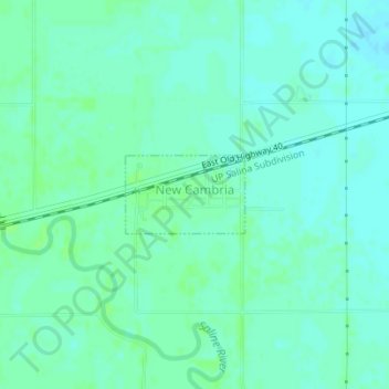
Name: New Cambria topographic map, elevation, terrain.

Location: New Cambria, Saline County, Kansas, United States (38.87608 -97.51206 38.88153 -97.50138)

Average elevation: 1,194 ft

Minimum elevation: 1,181 ft

Maximum elevation: 1,207 ft

Saline County trails, hiking, mountain biking, running and outdoor activities

Other topographic maps

Click on a map to view its topography, its elevation and its terrain.

Kipp

United States > Kansas > Saline County

Average elevation: 1,227 ft

Salemsborg

United States > Kansas > Saline County

Average elevation: 1,309 ft

Gear up for your next adventure:

🖼️Topo Map Wall Art - Decorative topographic prints of famous peaks and regions
🛰️Handheld GPS Units - Professional satellite navigators for precise backcountry mapping
Backpacking Tent - Lightweight and durable tent for multi‑day hikes
🧢Sun Protection Hats - Wide-brimmed and UPF-rated hats for high-altitude sun safety
🪶Multi‑Purpose Knife - Useful blade for camp and trail

As an Amazon Associate, this site earns from qualifying purchases at no extra cost to you.