
Make a donation
Gear up for your next adventure:
As an Amazon Associate, this site earns from qualifying purchases at no extra cost to you.
New Era topographic map
Click on the map to display elevation.
Make a donation
Gear up for your next adventure:
As an Amazon Associate, this site earns from qualifying purchases at no extra cost to you.
About this map
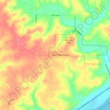
Name: New Era topographic map, elevation, terrain.
Location: New Era, Muscatine County, Iowa, United States (41.44614 -90.91209 41.48614 -90.87209)
Average elevation: 682 ft
Minimum elevation: 545 ft
Maximum elevation: 784 ft
Muscatine County trails, hiking, mountain biking, running and outdoor activities
Make a donation
Gear up for your next adventure:
As an Amazon Associate, this site earns from qualifying purchases at no extra cost to you.
Other topographic maps
Click on a map to view its topography, its elevation and its terrain.
Muscatine
United States > Iowa > Muscatine County
Several large working-class neighborhoods and industrial sectors have been built on what is called "Muscatine Island". This flat, sandy expanse was largely underwater before a portion of the Mississippi River rerouted to follow the course of the present-day Muscatine Slough. It is unclear when the river…
Average elevation: 620 ft
Make a donation
Gear up for your next adventure:
As an Amazon Associate, this site earns from qualifying purchases at no extra cost to you.