
Make a donation
Gear up for your next adventure:
As an Amazon Associate, this site earns from qualifying purchases at no extra cost to you.
Coyote Creek topographic map
Click on the map to display elevation.
Make a donation
Gear up for your next adventure:
As an Amazon Associate, this site earns from qualifying purchases at no extra cost to you.
About this map
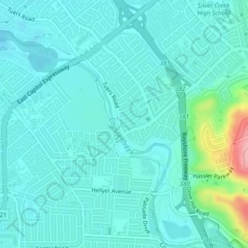
Name: Coyote Creek topographic map, elevation, terrain.
Average elevation: 190 ft
Minimum elevation: 118 ft
Maximum elevation: 574 ft
Santa Clara County trails, hiking, mountain biking, running and outdoor activities
Make a donation
Gear up for your next adventure:
As an Amazon Associate, this site earns from qualifying purchases at no extra cost to you.
Other topographic maps
Click on a map to view its topography, its elevation and its terrain.
Almaden Quicksilver County Park
United States > California > Santa Clara County > San Jose
Almaden Quicksilver County Park is a 4,163 acres (17 km²) park that includes the grounds of former mercury ("quicksilver") mines adjacent to south San Jose, California, USA. The park's elevation varies greatly: the most used entrances (on the east side of the park) are less than 600 feet (183 m) above sea…
Average elevation: 876 ft
Make a donation
Gear up for your next adventure:
As an Amazon Associate, this site earns from qualifying purchases at no extra cost to you.
Santa Teresa County Park
United States > California > Santa Clara County > San Jose
Average elevation: 492 ft