Geolocate

Smiljan topographic map

Click on the map to display elevation.

About this map

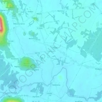
Name: Smiljan topographic map, elevation, terrain.

Location: Smiljan, Grad Gospić, Lika-Senj County, 53211, Croatia (44.54175 15.30140 44.58175 15.34140)

Average elevation: 1,854 ft

Minimum elevation: 1,801 ft

Maximum elevation: 2,454 ft

Other topographic maps

Click on a map to view its topography, its elevation and its terrain.

Smiljan

Croatia > Lika-Senj County > Grad Gospić

Average elevation: 1,860 ft

Gear up for your next adventure:

🎒Trekking Poles - Sturdy poles for balance and stability on rough terrain
🛡️Bear Spray Outdoor - Protection in bear country hikes
👟Trail Running Shoes - Lightweight shoes for trail runners
🧤Tactile Hiking Gloves - Keep hands warm while operating GPS and smartphone screens
🌡️Handheld Weather Meters - Measure wind, temp, and pressure for safe mountain travel

As an Amazon Associate, this site earns from qualifying purchases at no extra cost to you.