Geolocate

Rhineland topographic map

Click on the map to display elevation.

About this map

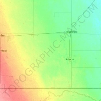
Name: Rhineland topographic map, elevation, terrain.

Location: Rhineland, Manitoba, Canada (49.00046 -97.86635 49.26657 -97.32494)

Average elevation: 833 ft

Minimum elevation: 774 ft

Maximum elevation: 958 ft

Gear up for your next adventure:

🧼Biodegradable Camping Soap - Eco‑friendly soap for outdoor hygiene
🎒Hydration Pack - Hands‑free water reservoir for long hikes
🏕️Family Camping Gear - Essentials for group camping trips
🎒Gear Packing Cubes - Organize your backpack efficiently
🧤Hiking Gloves - Protective gloves for rugged trails

As an Amazon Associate, this site earns from qualifying purchases at no extra cost to you.