Geolocate

Petrel topographic map

Click on the map to display elevation.

About this map

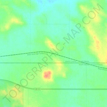
Name: Petrel topographic map, elevation, terrain.

Location: Petrel, Adams County, North Dakota, United States (45.92833 -102.29710 45.96833 -102.25710)

Average elevation: 2,552 ft

Minimum elevation: 2,497 ft

Maximum elevation: 2,644 ft

Other topographic maps

Click on a map to view its topography, its elevation and its terrain.

Haynes

United States > North Dakota > Adams County

Average elevation: 2,589 ft

Reeder

United States > North Dakota > Adams County

Average elevation: 2,818 ft

Bucyrus

United States > North Dakota > Adams County

Average elevation: 2,792 ft

Haynes

United States > North Dakota > Adams County

Average elevation: 2,589 ft

Gear up for your next adventure:

🪑Ultralight Camp Chairs - Portable seating for resting after a long day of mapping
🪄Magnetic Compass - Accurate compass for navigation
🚑Emergency Bivvies - Heat-reflective sleeping bags for survival situations
🕶️GPS Smartphone Mount - Secure mount for phone navigation
🔦Powerful Headlamps - Ultra-bright hands-free lighting for night navigation

As an Amazon Associate, this site earns from qualifying purchases at no extra cost to you.