
Haynes topographic map
Click on the map to display elevation.
About this map
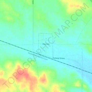
Name: Haynes topographic map, elevation, terrain.
Location: Haynes, Adams County, North Dakota, United States (45.96979 -102.47424 45.97730 -102.46805)
Average elevation: 2,589 ft
Minimum elevation: 2,526 ft
Maximum elevation: 2,713 ft
Other topographic maps
Click on a map to view its topography, its elevation and its terrain.