Geolocate

Bolivar topographic map

Click on the map to display elevation.

About this map

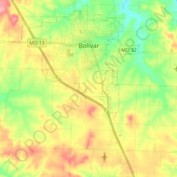
Name: Bolivar topographic map, elevation, terrain.

Location: Bolivar, Polk County, Missouri, 65613, United States (37.53861 -93.46675 37.63623 -93.37902)

Average elevation: 1,096 ft

Minimum elevation: 945 ft

Maximum elevation: 1,270 ft

Polk County trails, hiking, mountain biking, running and outdoor activities

Other topographic maps

Click on a map to view its topography, its elevation and its terrain.

Brighton

United States > Missouri > Polk County

Average elevation: 1,148 ft

Gear up for your next adventure:

🩹Survival Bandages - High‑quality bandages for emergencies
🦶Hiking Gaiters - Keep debris and water out of your boots
🌎3D Topographic Globes - Raised relief globes for a tactile understanding of geography
🛠️Backpacking Tool Kit - Essential toolkit for outdoor repairs
🪶Survival Guide Book - Expert advice for emergency preparedness

As an Amazon Associate, this site earns from qualifying purchases at no extra cost to you.