
Tone River topographic map
Click on the map to display elevation.
About this map
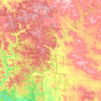
Name: Tone River topographic map, elevation, terrain.
Location: Tone River, Western Australia, Australia (-34.42114 116.42558 -34.01461 116.91399)
Average elevation: 797 ft
Minimum elevation: 407 ft
Maximum elevation: 1,106 ft
Other topographic maps
Click on a map to view its topography, its elevation and its terrain.