Geolocate

Corinth topographic map

Click on the map to display elevation.

About this map

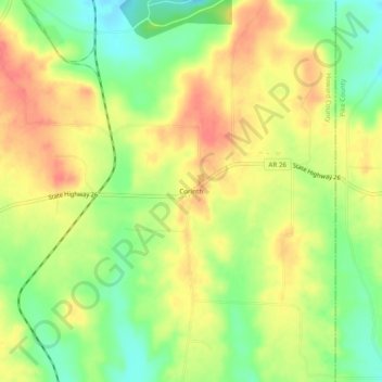
Name: Corinth topographic map, elevation, terrain.

Location: Corinth, Howard County, Arkansas, United States (34.02289 -93.86130 34.06289 -93.82130)

Average elevation: 627 ft

Minimum elevation: 525 ft

Maximum elevation: 715 ft

Howard County trails, hiking, mountain biking, running and outdoor activities

Other topographic maps

Click on a map to view its topography, its elevation and its terrain.

Tollette

United States > Arkansas > Howard County

Average elevation: 331 ft

Nashville

United States > Arkansas > Howard County

Average elevation: 420 ft

Gear up for your next adventure:

🪶Compact Camp Shovel - Folding shovel for campsite tasks
🕶️GPS Smartphone Mount - Secure mount for phone navigation
🗻Climbing Gear Basics - Essential gear for beginner climbers
📷Action Camera - Capture your outdoor adventures in HD
🔋Rechargeable Batteries - Power up your outdoor devices

As an Amazon Associate, this site earns from qualifying purchases at no extra cost to you.