
MacGregor topographic map
Click on the map to display elevation.
About this map
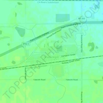
Name: MacGregor topographic map, elevation, terrain.
Location: MacGregor, Division No. 8, Manitoba, R0H 0R0, Canada (49.96020 -98.78967 49.97515 -98.76674)
Average elevation: 961 ft
Minimum elevation: 942 ft
Maximum elevation: 971 ft
Other topographic maps
Click on a map to view its topography, its elevation and its terrain.
Arden
Canada > Manitoba > Division No. 8 > Municipality of Glenella – Lansdowne
Average elevation: 1,073 ft