Geolocate

Whitmer topographic map

Click on the map to display elevation.

About this map

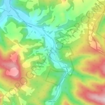
Name: Whitmer topographic map, elevation, terrain.

Location: Whitmer, Randolph County, West Virginia, United States (38.79289 -79.56894 38.83289 -79.52894)

Average elevation: 3,189 ft

Minimum elevation: 2,648 ft

Maximum elevation: 3,911 ft

Randolph County trails, hiking, mountain biking, running and outdoor activities

Other topographic maps

Click on a map to view its topography, its elevation and its terrain.

Montrose

United States > West Virginia > Randolph County

Average elevation: 2,067 ft

Gear up for your next adventure:

🛏️Cold Weather Sleeping Bag - Warm sleeping bag for cold conditions
🧣Hiking Neck Gaiter - Multi‑use neck protection for outdoor weather
🛠️Outdoor Gear Repair Kit - Essential tools to fix gear on the trail
🦟Ultrasonic Repellers - Create a bug-free zone at your camp or rest stop
🪵Folding Camp Saw - Compact saw for wood and campsite work

As an Amazon Associate, this site earns from qualifying purchases at no extra cost to you.