
特克斯县 topographic map
Interactive map
Click on the map to display elevation.
About this map
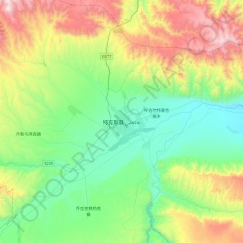
Name: 特克斯县 topographic map, elevation, terrain.
Location: 特克斯县, 伊犁哈萨克自治州, 新疆维吾尔自治区, 中国 (43.05679 81.67324 43.37679 81.99324)
Average elevation: 5,207 ft
Minimum elevation: 3,566 ft
Maximum elevation: 8,835 ft
Other topographic maps
Click on a map to view its topography, its elevation and its terrain.