
猎鹰台 topographic map
Interactive map
Click on the map to display elevation.
About this map
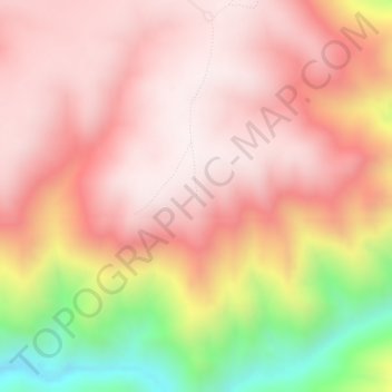
Name: 猎鹰台 topographic map, elevation, terrain.
Location: 猎鹰台, 喀拉峻草原景交车道, 特克斯县, 伊犁哈萨克自治州, 新疆维吾尔自治区, 中国 (42.99424 82.21865 42.99434 82.21875)
Average elevation: 7,510 ft
Minimum elevation: 5,764 ft
Maximum elevation: 8,353 ft
Other topographic maps
Click on a map to view its topography, its elevation and its terrain.