Geolocate

Loyal topographic map

Click on the map to display elevation.

About this map

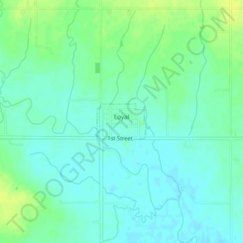
Name: Loyal topographic map, elevation, terrain.

Location: Loyal, Kingfisher County, Oklahoma, United States (35.97083 -98.12179 35.97471 -98.11507)

Average elevation: 1,129 ft

Minimum elevation: 1,106 ft

Maximum elevation: 1,161 ft

Kingfisher County trails, hiking, mountain biking, running and outdoor activities

Other topographic maps

Click on a map to view its topography, its elevation and its terrain.

Omega

United States > Oklahoma > Kingfisher County

Average elevation: 1,204 ft

Gear up for your next adventure:

🥾Women's Hiking Boots - Top-rated trail boots with ankle support and superior grip
💧Water Purification System - Clean water on the trail with reliable purifiers
📦Dry Bags Set - Waterproof storage for electronics and clothes
🧭Compass with Lanyard - Easy‑carry compass for navigation
🧭Orienteering Set - Complete compass and map reading kit

As an Amazon Associate, this site earns from qualifying purchases at no extra cost to you.