
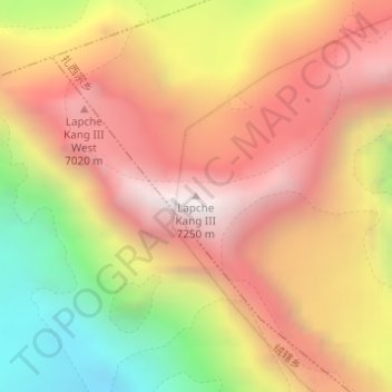
Lapche Kang III topographic map
Interactive map
Click on the map to display elevation.
About this map
Name: Lapche Kang III topographic map, elevation, terrain.
Location: Lapche Kang III, 扎西宗, 定日县, 日喀则市, 西藏自治区, 中国 (28.30194 86.38448 28.30204 86.38458)
Average elevation: 21,322 ft
Minimum elevation: 18,199 ft
Maximum elevation: 23,622 ft
Other topographic maps
Click on a map to view its topography, its elevation and its terrain.