Geolocate

Marble Falls topographic map

Click on the map to display elevation.

About this map

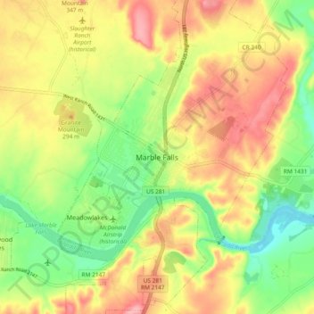
Name: Marble Falls topographic map, elevation, terrain.

Location: Marble Falls, Burnet County, Texas, 76654, United States (30.53775 -98.31565 30.61775 -98.23565)

Average elevation: 856 ft

Minimum elevation: 666 ft

Maximum elevation: 1,047 ft

Burnet County trails, hiking, mountain biking, running and outdoor activities

Gear up for your next adventure:

🖼️Topo Map Wall Art - Decorative topographic prints of famous peaks and regions
🦟Ultrasonic Repellers - Create a bug-free zone at your camp or rest stop
🔭Telescopic Hiking Pole - Adjustable pole for hiking stability
🧭Orienteering Set - Complete compass and map reading kit
🔦Powerful Headlamps - Ultra-bright hands-free lighting for night navigation

As an Amazon Associate, this site earns from qualifying purchases at no extra cost to you.