
Aituto topographic map
Interactive map
Click on the map to display elevation.
About this map
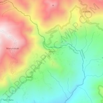
Name: Aituto topographic map, elevation, terrain.
Location: Aituto, Hatu-Builico, Ainaro, East Timor (-8.92076 125.57259 -8.88076 125.61259)
Average elevation: 5,148 ft
Minimum elevation: 3,691 ft
Maximum elevation: 7,051 ft
Other topographic maps
Click on a map to view its topography, its elevation and its terrain.