
Killaloe topographic map
Click on the map to display elevation.
About this map
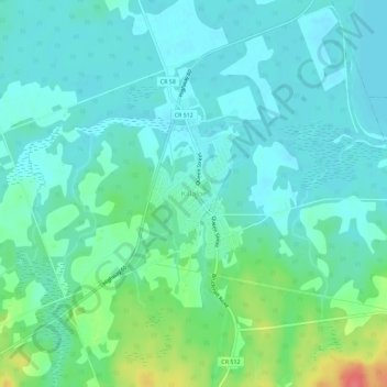
Name: Killaloe topographic map, elevation, terrain.
Average elevation: 597 ft
Minimum elevation: 548 ft
Maximum elevation: 761 ft
Other topographic maps
Click on a map to view its topography, its elevation and its terrain.
Bonnechere Provincial Park
Canada > Ontario > Renfrew County > Killaloe, Hagarty and Richards
Average elevation: 571 ft