
Thank you for supporting this site ❤️
Make a donation
Make a donation
Gear up for your next adventure:
As an Amazon Associate, this site earns from qualifying purchases at no extra cost to you.
Kombo-Itindi topographic map
Click on the map to display elevation.
Thank you for supporting this site ❤️
Make a donation
Make a donation
Gear up for your next adventure:
As an Amazon Associate, this site earns from qualifying purchases at no extra cost to you.
About this map
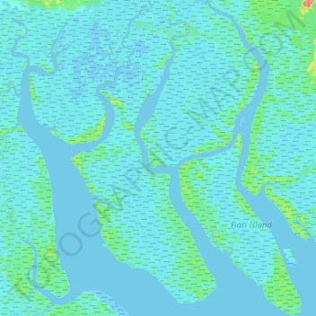
Name: Kombo-Itindi topographic map, elevation, terrain.
Location: Kombo-Itindi, Ndian, Southwest, Cameroon (4.52378 8.64273 4.78430 8.86796)
Average elevation: 13 ft
Minimum elevation: -13 ft
Maximum elevation: 217 ft
Thank you for supporting this site ❤️
Make a donation
Make a donation
Gear up for your next adventure:
As an Amazon Associate, this site earns from qualifying purchases at no extra cost to you.