Geolocate

Fair Bluff topographic map

Click on the map to display elevation.

About this map

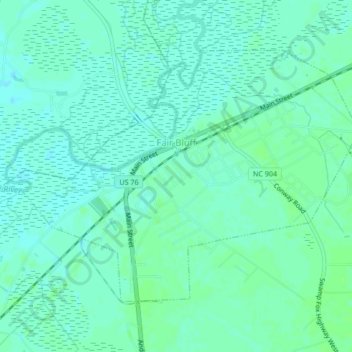
Name: Fair Bluff topographic map, elevation, terrain.

Location: Fair Bluff, Columbus County, North Carolina, United States (34.29779 -79.05755 34.32263 -79.01557)

Average elevation: 69 ft

Minimum elevation: 56 ft

Maximum elevation: 85 ft

Columbus County trails, hiking, mountain biking, running and outdoor activities

Other topographic maps

Click on a map to view its topography, its elevation and its terrain.

Gear up for your next adventure:

🪶Compact Camp Shovel - Folding shovel for campsite tasks
🔥Plasma Lighters - Windproof lighters that work in any weather condition
🎒Outdoor Daypacks - Lightweight backpacks designed for carrying maps and essential gear
🧭Pro Hiking Compasses - High-accuracy liquid-filled compasses for topographic orientation
🧴Hand Sanitizer - Keep hands clean while hiking

As an Amazon Associate, this site earns from qualifying purchases at no extra cost to you.