Geolocate

Delco topographic map

Click on the map to display elevation.

About this map

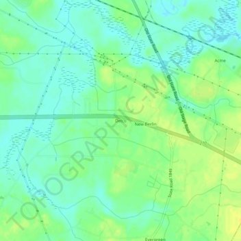
Name: Delco topographic map, elevation, terrain.

Location: Delco, Columbus County, North Carolina, 28436, United States (34.29572 -78.24472 34.33572 -78.20472)

Average elevation: 36 ft

Minimum elevation: 7 ft

Maximum elevation: 75 ft

Columbus County trails, hiking, mountain biking, running and outdoor activities

Other topographic maps

Click on a map to view its topography, its elevation and its terrain.

Gear up for your next adventure:

🪵Folding Camp Saw - Compact saw for wood and campsite work
🗃️Trail First Aid Kit - Essential kit for outdoor injuries and emergencies
🔭Stargazing Telescopes - Perfect for camping in low-light pollution areas shown on maps
🧣Merino Neck Gaiters - Multi-functional headwear for wind and sun protection
📚USA Hiking Guide Books - Top trail guides and map books

As an Amazon Associate, this site earns from qualifying purchases at no extra cost to you.