Geolocate

Panmunjeom topographic map

Click on the map to display elevation.

About this map

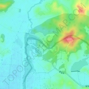
Name: Panmunjeom topographic map, elevation, terrain.

Location: Panmunjeom, Jinseo-myeon, Paju-si, Gyeonggi, South Korea (37.94597 126.66731 37.96597 126.68731)

Average elevation: 89 ft

Minimum elevation: 30 ft

Maximum elevation: 279 ft

Other topographic maps

Click on a map to view its topography, its elevation and its terrain.

Gear up for your next adventure:

GPS Sports Watch - GPS watch for running, hiking and training
🛰️Satellite Messengers - Emergency SOS and two-way messaging for off-grid adventures
🪶Paracord Bracelet - Survival bracelet with built‑in tools
🧦Hiking Socks - Comfortable socks to prevent blisters on long hikes
🏕️Family Camping Gear - Essentials for group camping trips

As an Amazon Associate, this site earns from qualifying purchases at no extra cost to you.