Geolocate

Pontotoc topographic map

Interactive map

Click on the map to display elevation.

About this map

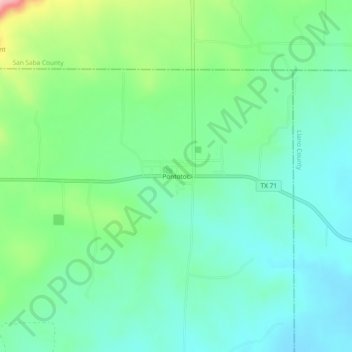
Name: Pontotoc topographic map, elevation, terrain.

Location: Pontotoc, Mason County, Texas, 76869, United States (30.88934 -99.00005 30.92934 -98.96005)

Average elevation: 1,542 ft

Minimum elevation: 1,394 ft

Maximum elevation: 1,936 ft

Other topographic maps

Click on a map to view its topography, its elevation and its terrain.

Grit

United States > Texas > Mason County

Grit, Mason County, Texas, United States

Average elevation: 1,736 ft

Fredonia

United States > Texas > Mason County

Fredonia, Mason County, Texas, 76842, United States

Average elevation: 1,670 ft

Art

United States > Texas > Mason County

Art, Mason County, Texas, United States

Average elevation: 1,398 ft

Mason

United States > Texas > Mason County

Mason, Mason County, Texas, 76856, United States

Average elevation: 1,588 ft

Streeter

United States > Texas > Mason County

Streeter, Mason County, Texas, United States

Average elevation: 1,709 ft