Geolocate

Magrath topographic map

Click on the map to display elevation.

About this map

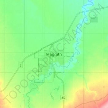
Name: Magrath topographic map, elevation, terrain.

Location: Magrath, Alberta, T0K 1J0, Canada (49.38032 -112.90375 49.46032 -112.82375)

Average elevation: 3,241 ft

Minimum elevation: 3,117 ft

Maximum elevation: 3,524 ft

Gear up for your next adventure:

📡GPS Antenna Upgrade - Enhance GPS reception in remote terrain
🧢Sun Protection Hats - Wide-brimmed and UPF-rated hats for high-altitude sun safety
🌐World Map Poster - Decorative world maps with topographic info
📚USA Hiking Guide Books - Top trail guides and map books
🔭Telescopic Hiking Pole - Adjustable pole for hiking stability

As an Amazon Associate, this site earns from qualifying purchases at no extra cost to you.