
Pikeville topographic map
Click on the map to display elevation.
About this map
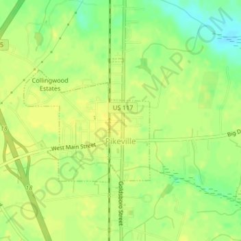
Name: Pikeville topographic map, elevation, terrain.
Location: Pikeville, Wayne County, North Carolina, United States (35.49248 -77.99528 35.50637 -77.97787)
Average elevation: 138 ft
Minimum elevation: 92 ft
Maximum elevation: 157 ft
Wayne County trails, hiking, mountain biking, running and outdoor activities
Other topographic maps
Click on a map to view its topography, its elevation and its terrain.