Geolocate

Thorne topographic map

Click on the map to display elevation.

About this map

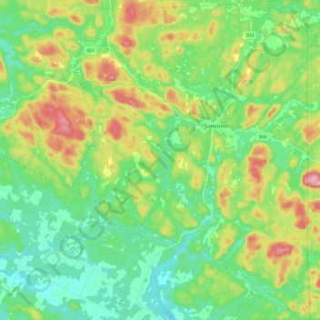
Name: Thorne topographic map, elevation, terrain.

Location: Thorne, Pontiac (MRC), Outaouais, Quebec, J0X 2A0, Canada (45.66935 -76.53725 45.82237 -76.32355)

Average elevation: 728 ft

Minimum elevation: 515 ft

Maximum elevation: 1,171 ft

Gear up for your next adventure:

🧢Outdoor Hiking Hat - Sun protection hat for outdoor explorers
🥇GPS Hiking Watch - Multi‑sport GPS watch with navigation and trail tracking
🧦Merino Wool Socks - Moisture-wicking, blister-preventing socks for long treks
🪶Trail Camera - Capture wildlife on your hikes
📖Nature Tracking Books - Learn to track wildlife and terrain

As an Amazon Associate, this site earns from qualifying purchases at no extra cost to you.