
Make a donation
Gear up for your next adventure:
As an Amazon Associate, this site earns from qualifying purchases at no extra cost to you.
Romanens topographic map
Click on the map to display elevation.
Make a donation
Gear up for your next adventure:
As an Amazon Associate, this site earns from qualifying purchases at no extra cost to you.
About this map
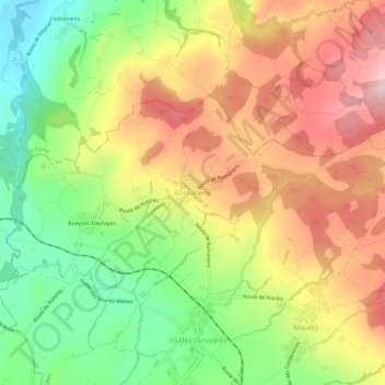
Name: Romanens topographic map, elevation, terrain.
Location: Romanens, Sâles, District de la Gruyère, Fribourg, 1626, Suisse (46.63185 6.95330 46.67185 6.99330)
Average elevation: 2,897 ft
Minimum elevation: 2,425 ft
Maximum elevation: 3,373 ft
Make a donation
Gear up for your next adventure:
As an Amazon Associate, this site earns from qualifying purchases at no extra cost to you.
Other topographic maps
Click on a map to view its topography, its elevation and its terrain.
Gruyères
Suisse > Fribourg > District de la Gruyère
La cité médiévale de Gruyères occupe une position remarquable sur un éperon rocheux qui domine la vallée de la Sarine. Son altitude moyenne est d'environ 800 m tandis que les villages de Pringy et d'Epagny, situés dans la plaine au pied de la colline, ont une altitude de 750 m et 715 m respectivement.…
Average elevation: 3,720 ft
La Sarine
Suisse > Fribourg > District de la Gruyère > Bas-Intyamon > Villars-sous-Mont
Average elevation: 2,943 ft
Make a donation
Gear up for your next adventure:
As an Amazon Associate, this site earns from qualifying purchases at no extra cost to you.