
Beavercreek Township topographic map
Interactive map
Click on the map to display elevation.
About this map
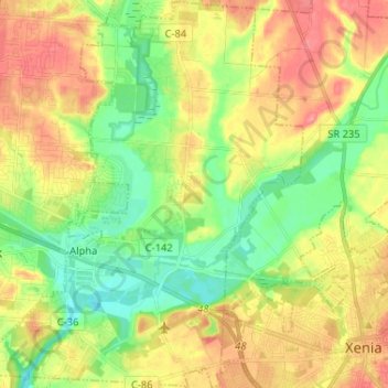
Name: Beavercreek Township topographic map, elevation, terrain.
Location: Beavercreek Township, Greene County, Ohio, United States (39.67456 -84.07933 39.77379 -83.94972)
Average elevation: 883 ft
Minimum elevation: 771 ft
Maximum elevation: 1,010 ft
Greene County trails, hiking, mountain biking, running and outdoor activities
Other topographic maps
Click on a map to view its topography, its elevation and its terrain.