Geolocate

Bellfountain topographic map

Click on the map to display elevation.

About this map

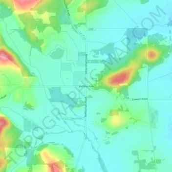
Name: Bellfountain topographic map, elevation, terrain.

Location: Bellfountain, Benton County, Oregon, United States (44.34376 -123.37553 44.38376 -123.33553)

Average elevation: 351 ft

Minimum elevation: 259 ft

Maximum elevation: 636 ft

Benton County trails, hiking, mountain biking, running and outdoor activities

Other topographic maps

Click on a map to view its topography, its elevation and its terrain.

Monroe

United States > Oregon > Benton County

Average elevation: 325 ft

Gear up for your next adventure:

🪶Multi‑Purpose Knife - Useful blade for camp and trail
🌎3D Topographic Globes - Raised relief globes for a tactile understanding of geography
🔥Plasma Lighters - Windproof lighters that work in any weather condition
💧Water Filtration Bottles - Safely drink from streams and lakes while exploring
🔌Solar Panel Charger - Charge gear sustainably outdoors

As an Amazon Associate, this site earns from qualifying purchases at no extra cost to you.