Geolocate

Delavan topographic map

Click on the map to display elevation.

About this map

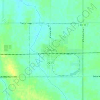
Name: Delavan topographic map, elevation, terrain.

Location: Delavan, Faribault County, Minnesota, United States (43.76046 -94.02743 43.77492 -94.00735)

Average elevation: 1,066 ft

Minimum elevation: 1,040 ft

Maximum elevation: 1,106 ft

Faribault County trails, hiking, mountain biking, running and outdoor activities

Other topographic maps

Click on a map to view its topography, its elevation and its terrain.

Huntley

United States > Minnesota > Faribault County

Average elevation: 1,093 ft

Gear up for your next adventure:

🎒Waterproof Dry Bags - Keep your electronics and maps dry inside your pack
🪶Compact Camp Shovel - Folding shovel for campsite tasks
🔥Fast-Boil Camping Stoves - Efficient cooking systems for quick trail meals
🧯Portable Fire Pit - Compact fire pit for camping spots
🪵Folding Camp Saw - Compact saw for wood and campsite work

As an Amazon Associate, this site earns from qualifying purchases at no extra cost to you.