Statham topographic map
Interactive map
Click on the map to display elevation.
About this map
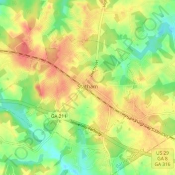
Name: Statham topographic map, elevation, terrain.
Location: Statham, Barrow County, Georgia, United States (33.94898 -83.63887 33.98126 -83.57542)
Average elevation: 856 ft
Minimum elevation: 761 ft
Maximum elevation: 942 ft
Other topographic maps
Click on a map to view its topography, its elevation and its terrain.
Fort Yargo State Park
United States > Georgia > Barrow County > Winder
Fort Yargo State Park, Winder, Barrow County, Georgia, United States
Average elevation: 886 ft
Auburn
United States > Georgia > Barrow County
Auburn, Barrow County, Georgia, 30011, United States
Average elevation: 984 ft
Carl
United States > Georgia > Barrow County
Carl, Barrow County, Georgia, United States
Average elevation: 1,040 ft
Russell
United States > Georgia > Barrow County
Russell, Barrow County, Georgia, 30680, United States
Average elevation: 915 ft
Bethlehem
United States > Georgia > Barrow County
Bethlehem, Barrow County, Georgia, United States
Average elevation: 846 ft
Winder
United States > Georgia > Barrow County
Winder, Barrow County, Georgia, United States
Average elevation: 899 ft